-1379-p.jpg?v=7db4a17b-5b1a-4a86-a63f-5b78fb8a8592)
-1379-p.jpg?v=7db4a17b-5b1a-4a86-a63f-5b78fb8a8592)
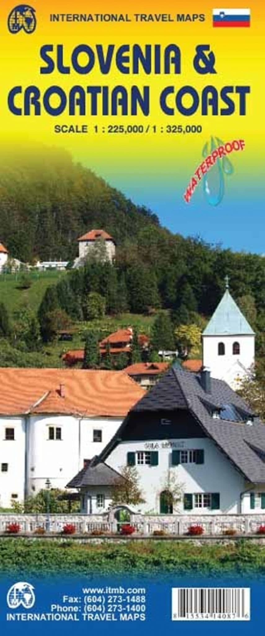


Slovenia & Croatian Coast
Scale: 1:225,000 & 1:325,000
Please Note: Delivery is 5 to 7 days (UK)
A Doubled-sided map printed on Water & Tear Resistant Paper.
A note from the publishers,
We have visited Slovenia several times and find it to be an interesting and scenic part of Europe with modern and well-maintained hotels, restaurants and roads, with prices being much more affordable than in neighbouring countries to the west.
As the country is not particularly large, we have limited our country coverage to one side of the sheet, with a detailed inset map of Ljubljana.
The other side is a lovely map of the Dalmatian Coast. Now that Croatia is part of the EU, border limitations with the rest of western Europe have been removed and driving from Italy or Slovenia southward towards Dubrovnik is easy.
The map shows the Pula Peninsula, the coastal islands of Cres, Brac, and Havar, and resort communities such as Zadar, Split, and medieval Dubrovnik. The new coastal motorway is mostly complete, but political difficulties are forcing an expensive tunnelling project to by-pass part of Bosnia. Once completed, the highway will stretch to the Montenegrin border and become a major truck route from Turkey to Europe.
Features
Expressways
Main road
secondary Roads
Minor Roads
Dirt Roads
Plus symbols to indicate,
-
Points of Interest
-
Airports
-
Mining
-
Zoos
-
Fishing
-
University
-
Lighthouse
-
Hot Spring
-
Mosque
-
Cultural World Heritage Site
-
Natural World Heritage site
Customer reviews
| Isbn Number | 9781553414087 |
| Brand | ITMB |
| Condition | New |
| Weight | 0.24kg |