-16941-p.jpg?v=7db4a17b-5b1a-4a86-a63f-5b78fb8a8592)
-16943-p.jpg?v=7db4a17b-5b1a-4a86-a63f-5b78fb8a8592)
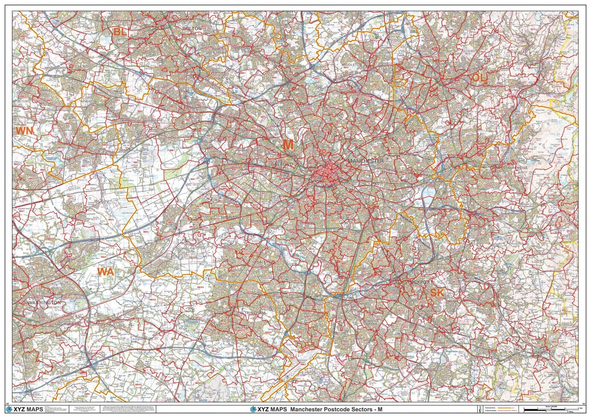


Manchester - M - Postcode Sector Wall Map
The Manchester Postcode Sector Wall Map shows detailed postcode sector boundaries (M1 1, M1 2) on a comprehensive background and is perfect for determining postcode boundaries for sales areas, planning mailshots and also an excellent reference for logistics. This wall map covers the whole of the M Postcode Area.
1189 x 841 mm
2018
1:50,000
Choose your map finish
Please select either Paper or Laminated from the drop menu.
Delivery - 3 to 5 days (UK)
Your Map will be sent to you Flat/Rolled in a sturdy Cardboard Tube by Courier.
It will require a signature on delivery or will be left in a safe place.
Customer reviews
| Weight | 2kg |