


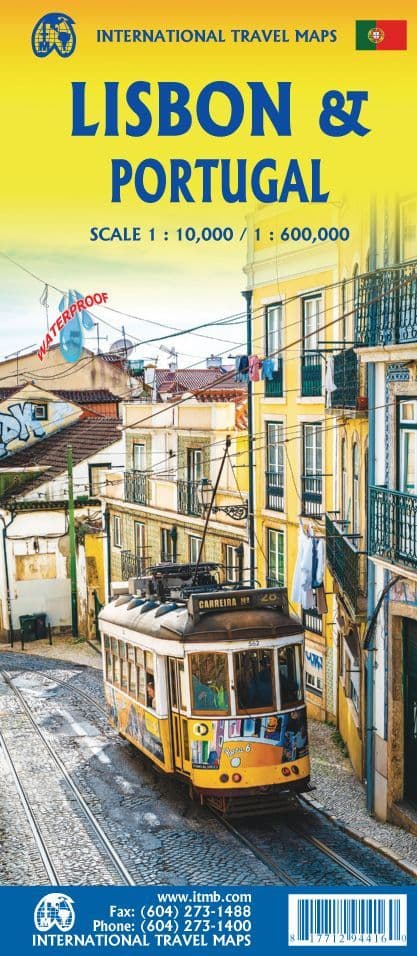


Lisbon & Portugal
Map Scale: 1:10,000 & 1: 600,000
Delivery: Please allow 5 to 10 days (UK)
A Note from the Publisher,
On side 1 - The city of Lisbon coverage extends from the northern and western motorways to the southerly Rio Tejo and the national museum, so shows the city quite comprehensively. Almost half of the map area is of the massive Monsanto Park, one of the largest urban parks in the world.
The reverse side is equally important, in that it presents our first-ever map dedicated to showing the charms of the entire country of Portugal. A bit of western Spain is included due to the unevenness of the border, but the map goes from the northernmost tip off Castelo to the southernmost expanse of the Costa Do Algarve, showing tourist attractions, historic sites, beaches, museums, rail connections, and major parks.
The map is printed on waterproof stone paper, a recent technological innovation that is gradually replacing plastic.
Map size: 70 x 100cm approx (27 x 39 Inches)
Customer reviews
| Isbn Number | 9781771294416 |
| Weight | 0.24kg |